Geospatial Monitoring Harnessing the Power of GNSS
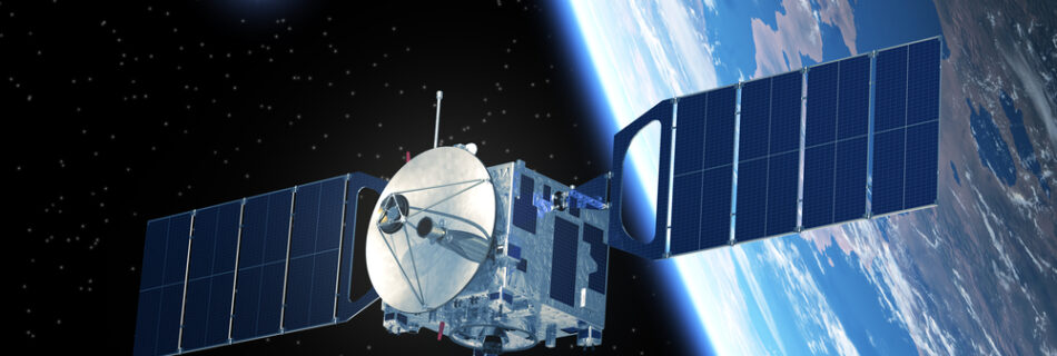
Global Navigation Satellite Systems (GNSS) encompass various satellite constellations in Medium Earth Orbit (MEO). Each satellite in these constellations transmits positioning and timing data to GNSS receivers on Earth. By utilising multiple constellations, GNSS-enabled devices can enhance accuracy through time synchronisation and the geometric principle of triangulation. Selecting the Right Technology is Crucial In the …
Read more “Geospatial Monitoring Harnessing the Power of GNSS”