Displacement monitoring is an increasingly important part of geotechnical engineering. By collecting accurate data on displacement, engineers can make better-informed decisions about the stability of a structure or landform.
However, traditional displacement monitoring solutions can be expensive and time-consuming. Automated displacement monitoring solutions offer a more efficient, frequent and cost-effective way to collect displacement data. In this article, we’ll discuss the benefits of automated displacement monitoring solutions for geotechnical engineers.
Capture displacement data to better inform decision-making
One of the biggest challenges faced by geotechnical engineers is a lack of data to inform decision-making. This leads to decisions being made based on assumptions using past experience. While future performance is sometimes predictable using past performance, when it comes to geotechnical applications, and a vastly changing environment, that is not always the case. Nor is it the most responsible.
Automated displacement monitoring solutions can help overcome this, by providing data that supports more informed decision-making. Good data sets, interpreted expertly, can give geotechnical engineers certainty and confidence. With so many different things to consider when it comes to the surface and weather, having more certainty about one of those things could mean the difference between lives being saved or lost.
Understand the degree of displacement risk in difficult-to-access locations
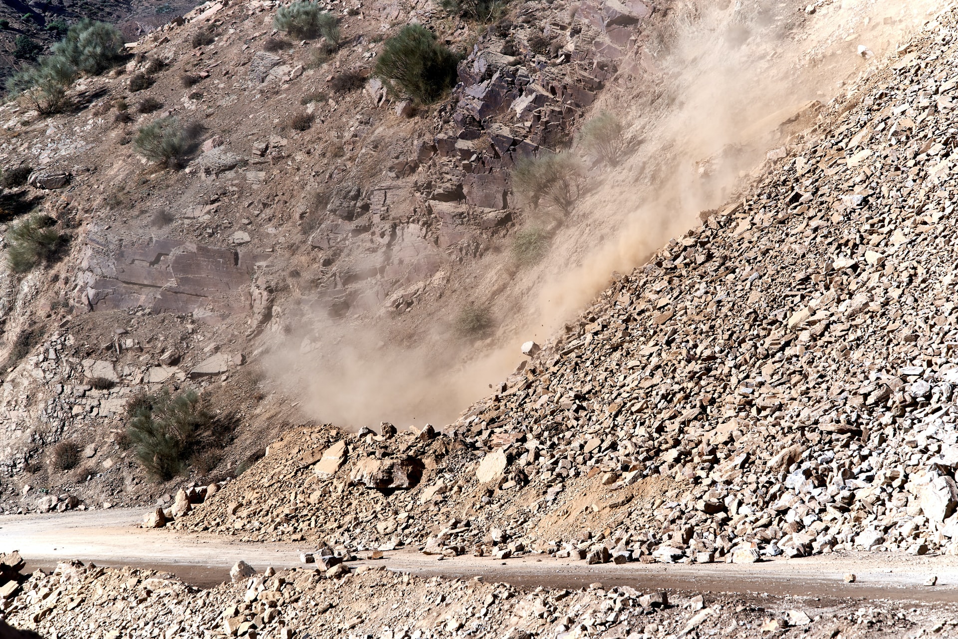
The various types of ground surface movement, such as slope stability, pose differing levels of risk which require different mitigation responses. In high-risk environments, like those that could potentially have a translation or rotational failure, or in areas with a lot of traffic, it is risky for personnel to gather data. Capturing that data becomes a potential hazard in itself.
Typically, the decision about whether to capture data for preventative maintenance came down to a question of economics: does the risk posed to people or equipment outweigh the cost of sending those people or equipment into the field? This is where the costs of traditional monitoring solutions become prohibitive, even though the data itself would be highly valuable.
Thankfully, automated displacement monitoring solutions that are now available, especially like Kurloo, make that decision less about cost and more about capturing sufficient and quality data to proactively manage risk in more places.
Respond to surface movement quickly with mitigation measures
If you want to fix something before it becomes a big problem, you need to have the right information. This is especially important for geotechnical engineers. They use data from displacement monitoring solutions to give their team and clients the best advice for their project or challenge. This data supports proactive qualitative assessments and enables risk mitigation initiatives to occur more quickly, preventing further movement or degradation on site.
Broader economic, social and legal implications can be communicated, discussed and acted on more quickly, resulting in better outcomes for the community at large.
Not all automated displacement monitoring solutions are created equal
When it comes to automated displacement for geotechnical engineering applications, certainly not all solutions are created equally. Traditional monitoring solutions can be operationally complex and cost-prohibitive for many applications.
Kurloo is an end-to-end automated surface displacement monitoring solution like no other. Using the Internet of Things, multi-constellation GNSS and advanced post-processing in the cloud, Kurloo measures surface displacement in X, Y and Z down to 3mm level of precision. Designed to make precise positioning more accessible for more applications, it’s a durable solution to help manage risk more easily and economically than ever before.
If you’re a geotechnical engineer curious to hear about how Kurloo has been deployed on slope stability and embankment stability projects, book a call today.
